Investigated on: Tuesday, February 6, 2018

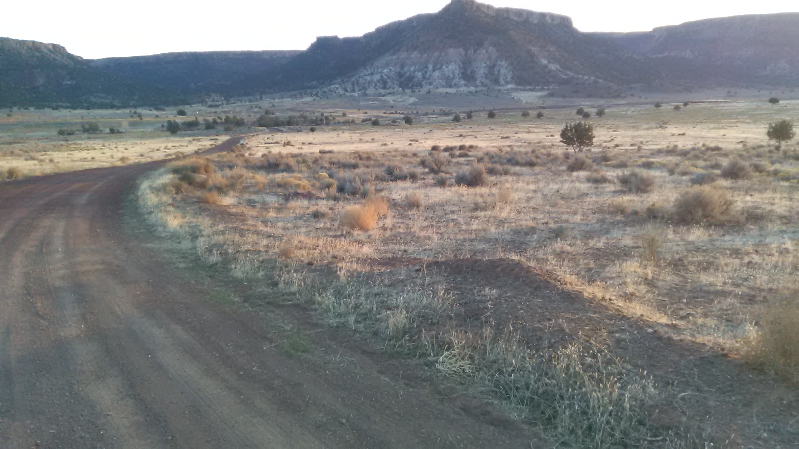
This is a view to the south. The abandoned golf course is towards the base of the mountain. But this 100+ acre spot would make for a decent Class 2 launch site. Just left of this view is posted BLM land.
The location of nearby airports and heliports is an ongoing project. Research to locate owners of the various property parcels is under way.

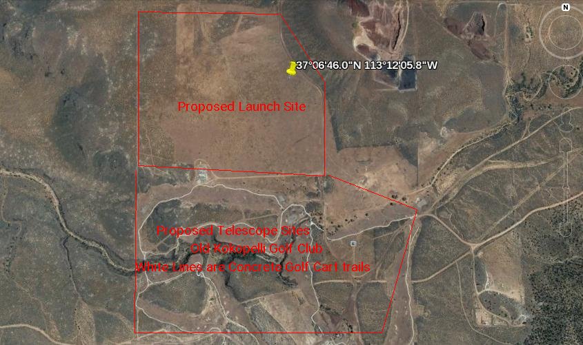
This aerial photograph shows the massive flat clearing to the the north. The white lines to the south are
the concrete golf course lanes. The golf course green itself is shot and overgrown with weeds, brush, etc. Just east of the yellow pin is posted BLM land.
![]()